Equipment
We offer high-precision equipment of our own production for various applications.

The foundation of any GIS is the topographic data

From the effectiveness of management of infrastructure facilities at the municipal and state levels, the quality of people's lives, the attractiveness of the territory for investment and, as a consequence, further economic and social development, directly depends.
When making managerial decisions, it is necessary to have up-to-date and reliable information about the objects of infrastructure and financial accounting.
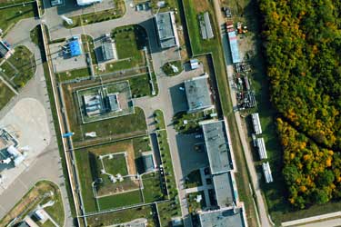
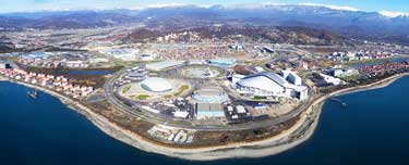
Usually, the tasks of collecting, storing and processing this information are most conveniently solved with using the geoinformation systems (GIS) of the appropriate level. The foundation of such systems is topographic basis of territory, the most effective method of obtaining which is application of mobile, terrestrial and airborne mapping technologies.
We offer high-precision equipment of our own production for various applications.
Our software allows to effectively process large volumes of remote sensing data.
We offer to our customers the complete production workflow.