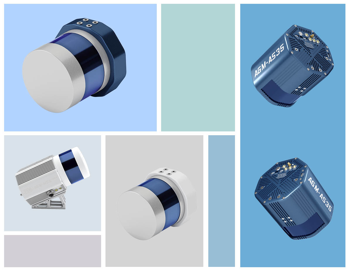
AGM Scancontrol
Software for managing mobile and airborne laser scanning systems manufactured by AGM Systems in the process of surveying.
The main function of the software product is to control the status of the scanning system components, as well as, optionally, control the equipment during the shooting process, launch individual components, and conduct primary general quality control of the data received.
A light and handy product for obtaining quality data at the most important stage - when making primary measurements.
Full list of functionalities of the software product:
1. Monitoring the status of the system components
2. Displaying the number of the current session
3. Control of free space on an external storage device
4. Setting the photo interval
5. Display the system software version
6. Displaying a parametric description of the geometric relative position of the satellites relative to the receiver antenna
7. Number of observed satellites by GNSS constellations
8. Displaying the frequency of rotation of LiDAR emitters
9. Navigation
10. Horizontal speed display
11. System temperature display
12. System operation mode control
13. Storage management
14. Choosing a GUI Theme
15. Specifying and displaying the loading path of the survey boundaries
16. Specifying and displaying the storage path of system data
17. Specifying and displaying the data storage path of the panoramic camera
Providing technical documentation and the cost of the software is possible on request.
Documentation containing a description of the functional characteristics of the software and information necessary for installing and operating the software is available upon request.

